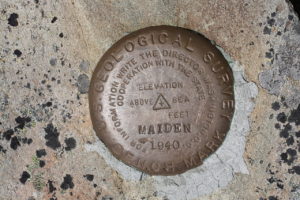
Given a decent view of the sky, a GPS receiver can determine your latitude and longitude to a high degree of accuracy as good as a meter or so. But what if the latitude and longitude themselves are in error? That’s the problem faced by the continent of Australia. Every year, Australia shifts about 5.6 to 7.0 cm to the northeast. The country’s latitude and longitude were fixed in a survey in 1994, but in the intervening 22 years, the continent has shifted about 1.5 m or 5 ft. That’s not much, but if you want your autonomous vehicle to stay in the correct lane, you may have a problem.
The folks at Geoscience Australia have a solution. Australia’s new geospatial referencing system, GDA2020, will correct for the problem. In 2017, Australia’s lat-lon grid will be updated to the anticipated 2020 values. Then in 2020, the data will be updated on a continuous basis.
The U.S. faces a similar problem. The National Geodetic Survey intends to update NAD 83 in 2022, shifting the North American lat-lon grid by about a meter.
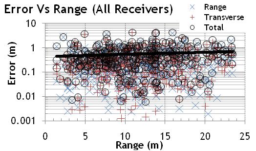
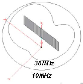
Of course the last great frontier in geolocation lies indoors. That’s where Q-Track’s Near-Field Electromagnetic Ranging (NFER) Real-Time Location Systems (RTLS) shine. Employing low-frequency (~1MHz), long wavelength (~300m) signals, Q-Track’s systems deliver 40cm mean accuracy location even in cluttered environments. Here’s a sample of the system up and running in our lab.
For more information, see Q-Track’s website.


